
While dashboards provide the statistics, the Orbify Live Map provides the context. It is a high-performance, interactive geospatial engine designed to give you a "god’s eye view" of every LNG vessel and terminal on the planet. Whether you are tracking a specific cargo or monitoring global congestion, the map turns raw AIS data into a strategic tool.
1. Seamless Navigation and Search
The world of LNG is vast, but Orbify makes it easy to navigate.
Zoom and Explore: Use the intuitive zoom controls to move from a global overview of trade lanes to a granular view of a specific jetty at a terminal.
The Power Search Bar: The search bar is your shortcut to information. You don't need to hunt for a needle in a haystack: simply type a Vessel Name, IMO number, Port, Terminal, or Owner to jump directly to that asset.
2. Dynamic Filtering and Custom Layers
A map is only useful if it shows you exactly what you need. Orbify’s Layer Filters allow you to declutter the view and focus on specific operational needs.
Filter by Status: Isolate laden vessels from ballast units to see where available capacity is located.
Layer Customization: Toggle specific layers on or off (such as terminal locations, specific trade zones, or weather overlays) to understand the environmental and logistical factors affecting your fleet.
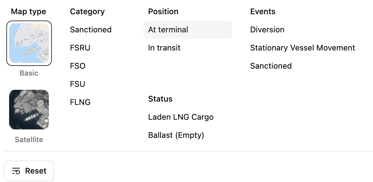
3. Interpreting the Sea: The Legend
To navigate effectively, you need to speak the language of the map. The Map Legend is your key to interpreting vessel movements at a glance.
Directional Icons: Arrows indicate the vessel's current heading and speed.
Color Coding: Use the legend to quickly distinguish between different vessel classes or operational statuses (e.g., green for laden transit, red for ballast, or specific markers for "Floating LNG").

4. Deep-Dive Intelligence: One-Click Information
Every icon on the map is a gateway to deeper data.
Click on a Vessel: Instantly access a sidebar with the ship’s speed, destination, estimated time of arrival (ETA), draft, and historical track.
Click on a Terminal: View real-time port activity, including vessels currently at berth and those waiting in the anchorage zone.
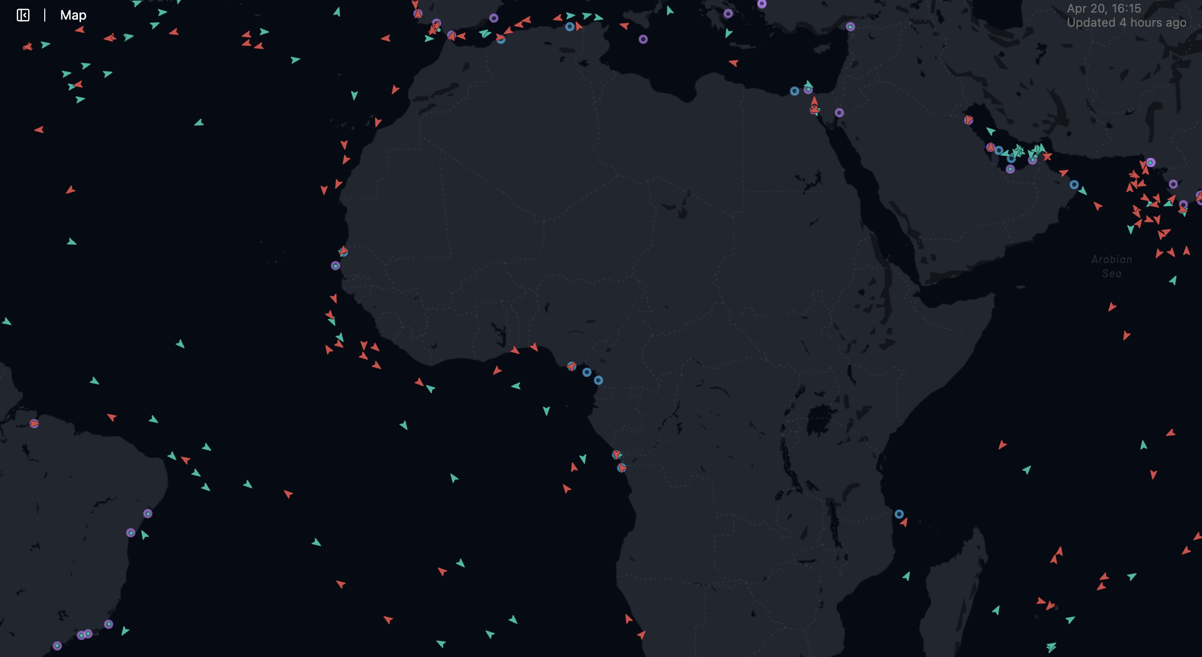
The Orbify Live Map provides real-time tracking across major maritime routes, allowing for instant identification of fleet clusters and terminal activity.